This article “The Masterplan for Little India” was updated on 21 March 2019

History of Little India
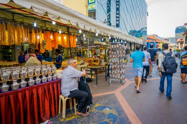
Little India wears many hats. It’s a tourist hotspot, ethnic enclave, backpackers’ quarter, hipster hangout, and more.
In the colonial era, Singapore was divided into ethnic enclaves for the settlement of immigrants. The zone initially designated for Indian settlement was in the Chulia Kampong area rather than present-day little India.
However, as the former became more crowded, many Indians took up residence in the area by the Serangoon River, which is today known as Little India. In its early days, much of the land in Little India was used for cattle farming, as well as the livestock trade.
Later on, other varieties of commerce began to be practiced in the area, and by the early 1900s the area began its transformation into an urban environment dominated by Indian-run businesses.
What’s in Little India
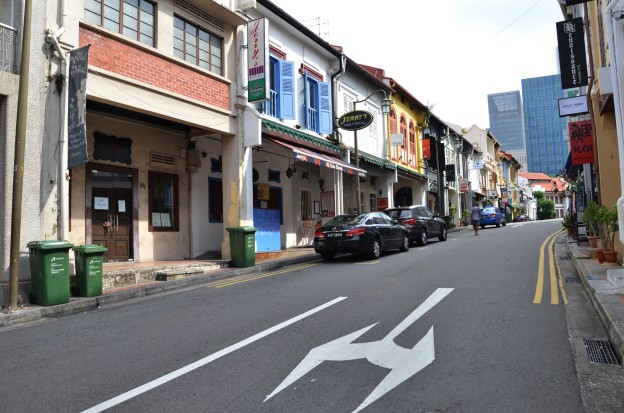
Despite its status as a major tourist attraction in Singapore, Little India is also a popular residential district that’s served by many amenities.
Situated on the Farrer Park end of Little India, Jalan Besar Sports and Recreation Centre comprises an ActiveSG gym, swimming complex, football pitch and tennis centre. The centre also hosted the Asian Youth Games in 2009 and the Youth Olympic Games in 2010.
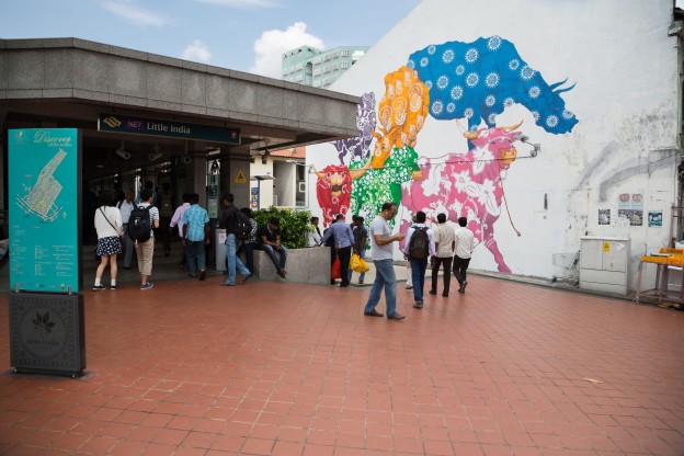
The MRT’s North-East Line offers the Little India area very quick connectivity to the CBD via Farrer Park Station and Little India Station, the latter also serving as an interchange for the Downtown Line.
The North-East Line takes residents directly into the heart of the city to Dhoby Ghaut, Clarke Quay and Chinatown stations.
Little India’s accessibility has been boosted further by the opening of the Downtown Line. In addition to Little India Interchange and Farrer Park Stations, MRT stations which serve the area on the Downtown Line include Rochor and Jalan Besar Stations. The Downtown Line connects commuters directly to the city centre via Fort Canning, Chinatown, Telok Ayer, Downtown, Bayfront, Promenade and Bugis stations.
Little India in the next 10 years
The URA Master Plan 2014 has earmarked the Ophir-Rochor area for an increase of mixed-use developments which will raise the number of housing options in the heart of the city.
The Beach Road/Ophir-Rochor Corridor will be the site of new large-scale mixed-used and commercial developments, which will be located within easy reach of the city centre and landscaped to include lots of greenery. This area will be developed over the long-term into a new lifestyle hub in the city while facilitating easy connections to the Singapore River and Orchard shopping precinct.
As Little India is a historic district with designated conservation areas, the architectural and historical significance of certain buildings and sites will be offered continued protection in order to preserve the cultural flavour of the area.
2 plots of land near Farrer Park MRT are set to change the skyline in Little India, one on Sturdee Road and the other on Perumal Lane. On the Sturdee Road site, developer Sustained Land is building up Sturdee Residences (read our in-depth review on the development), while another project, Uptown@Farrer, along Perumal Lane, is slated to launch in the near future.
Get the Guru View
Little India stands to benefit greatly from the government’s plans to develop the Ophir-Rochor area, which could find itself creating lots of traffic and jobs in the area thanks to new commercial and mixed-used developments. This will no doubt have a positive effect on demand for residences in the area, thereby raising rent and land prices.
If you’re interested to buy a new home in Little India, check out properties for sale in the area!

Click to download the full size infographic!